Catalog · How the catalog works
geopackageViewer

Lazarus program to view and draw geopackages.
- ★ 3 on GitHub
Anyone may press Interesting, signed in or not. It helps others find this project.
README
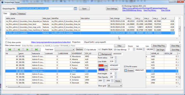
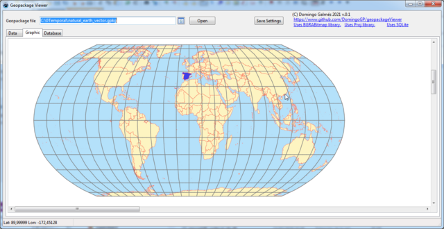
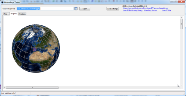
This project is a Lazarus program for view geopackage files and drawing maps.
uses BGRABITMAP package
Tested on windows only.
In windows requires sqlite3.dll in the program folder and in the lazarus.exe folder. By default maps are drawed using the web mercator projection. EPSG:3857.
Requires library proj8 (versions 6 and 7 also works) installed in the computer and you can draw maps in other projections.
May require changing the path in the call of procedure ProjInit; in the FormCreate event of frmMain.pas unit. and the dll name in proj.pas unit
if you comment {$DEFINE USE_PROJ7} in frmMain.pas then only depends on sqlite3.dll.
Homepage: [www.github.com/DomingoGP/geopackageViewer](https://github.com/DomingoGP/geopackageViewer)
Sites for download free geopackages
[www.naturalearthdata.com](https://www.naturalearthdata.com/downloads/)
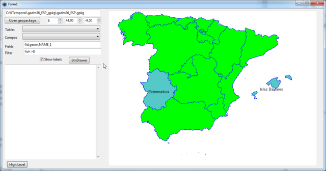
Sample code for drawing a map.
uses

   SQLiteWrap, geopackagewkb, geopackagedrawer, BGRABitmap, BGRABitmapTypes;

{
Data used in this test downloaded from.
https://biogeo.ucdavis.edu/data/gadm3.6/gpkg/gadm36_ESP_gpkg.zip
}

procedure TForm1.btnHighLevelClick(Sender: TObject);
var
  wGeoPackage: TGeoPackage;
  wDrawer: TGeoPackageDrawer;
  //BitmapMapa: TBGRABitmap;
begin
  //BitmapMapa:=TBGRABitmap.Create(1000,1000);
  BitmapMapa.Fill(clWhite);
  wDrawer := nil;
  wGeoPackage := nil;
  try
//wGeoPackage := TGeoPackage.Create('gadm36_ESP.gpkg');
wGeoPackage := TGeoPackage.Create(edGeoPackage.Text);
wDrawer := TGeoPackageDrawer.Create(BitmapMapa, 6, 43.80, -10.00);
wDrawer.DrawFeatures(wGeoPackage, 'gadm36_ESP_1', '', '');  // draw all records in the table.
wDrawer.FillColor := BGRA($255, 200, 200);
wDrawer.DrawFeatures(wGeoPackage, 'gadm36_ESP_1', 'NAME_1', 'fid=11 or fid=13'); //draw items 11 and 13 with label.
wDrawer.DrawLabels;//draw labels at end.
BitmapMapa.Draw(Canvas, 380, 10);
  finally
wGeoPackage.Free;
wDrawer.Free;
    //BitmapMapa.Free;
  end;
end;
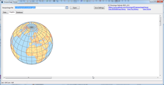
screenshoots