

Catalog · How the catalog works
EasyMaps

Calculates and visualizes optimal routes for multiple points.
- ★ 7 on GitHub
Anyone may press Interesting, signed in or not. It helps others find this project.
README
EasyMaps
Easy Maps is an offline desktop application for Windows written in Delphi. It helps you to calculate the shortest way between several(<= 25) points on a map and optimize points order. Maps are stored in text format. There are 2 movement types: by foot and by car. The app allows you to choose start or end point or optimize it (useful for couriers), set point order or optimize it.
The app was run in wine during the development period.
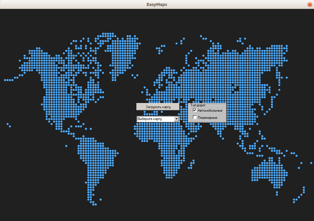
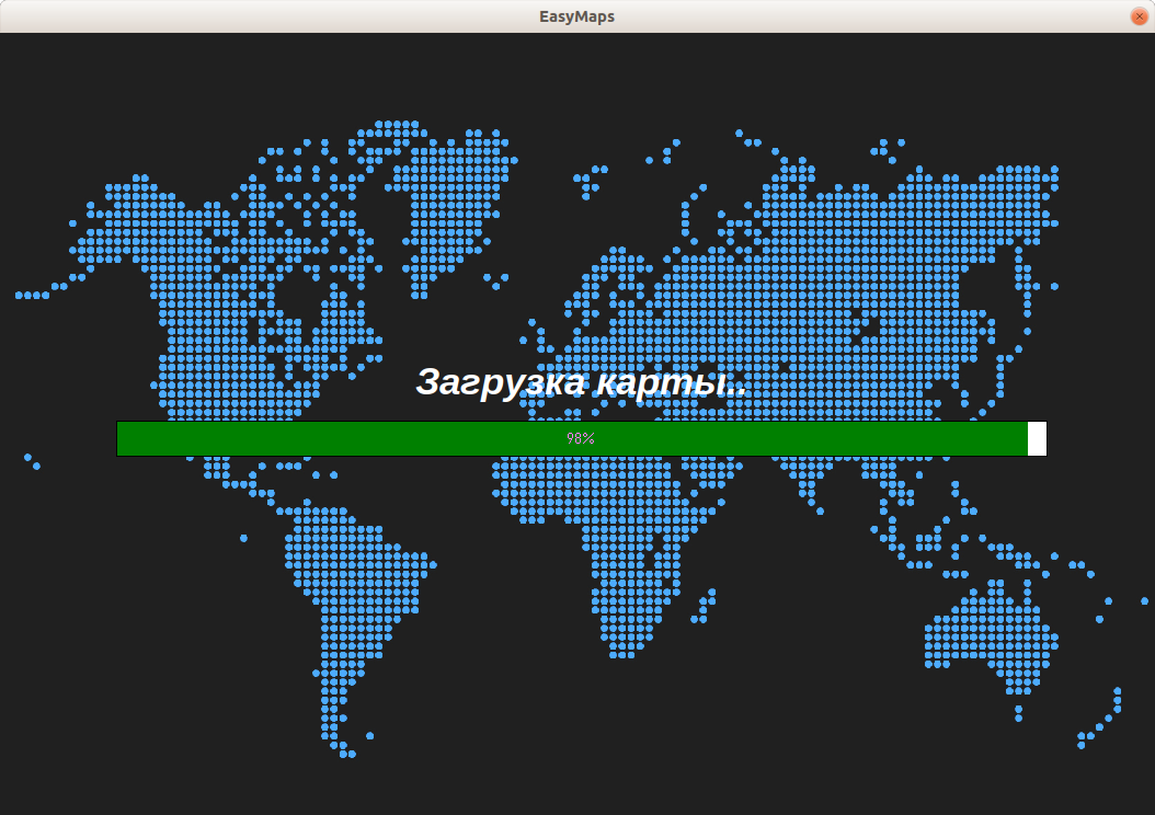
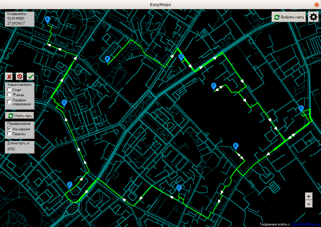
Menu (user can upload any map)
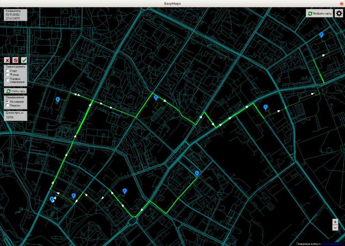
Way with defined fixed order of points. Also user can choose movement type - on foot/by car.
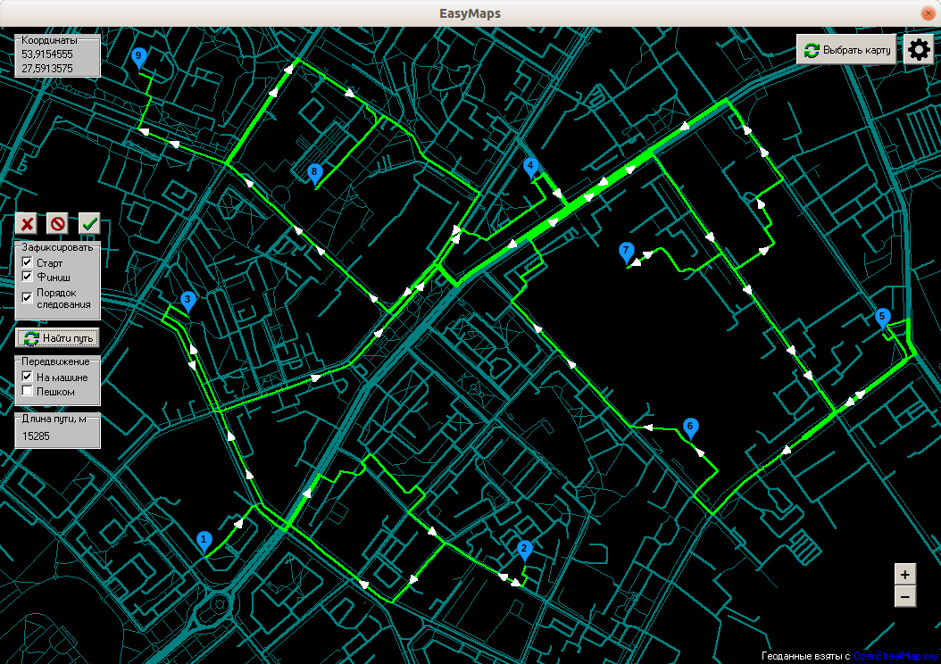
The same way with defined start and finish but optimized order of intermediate points
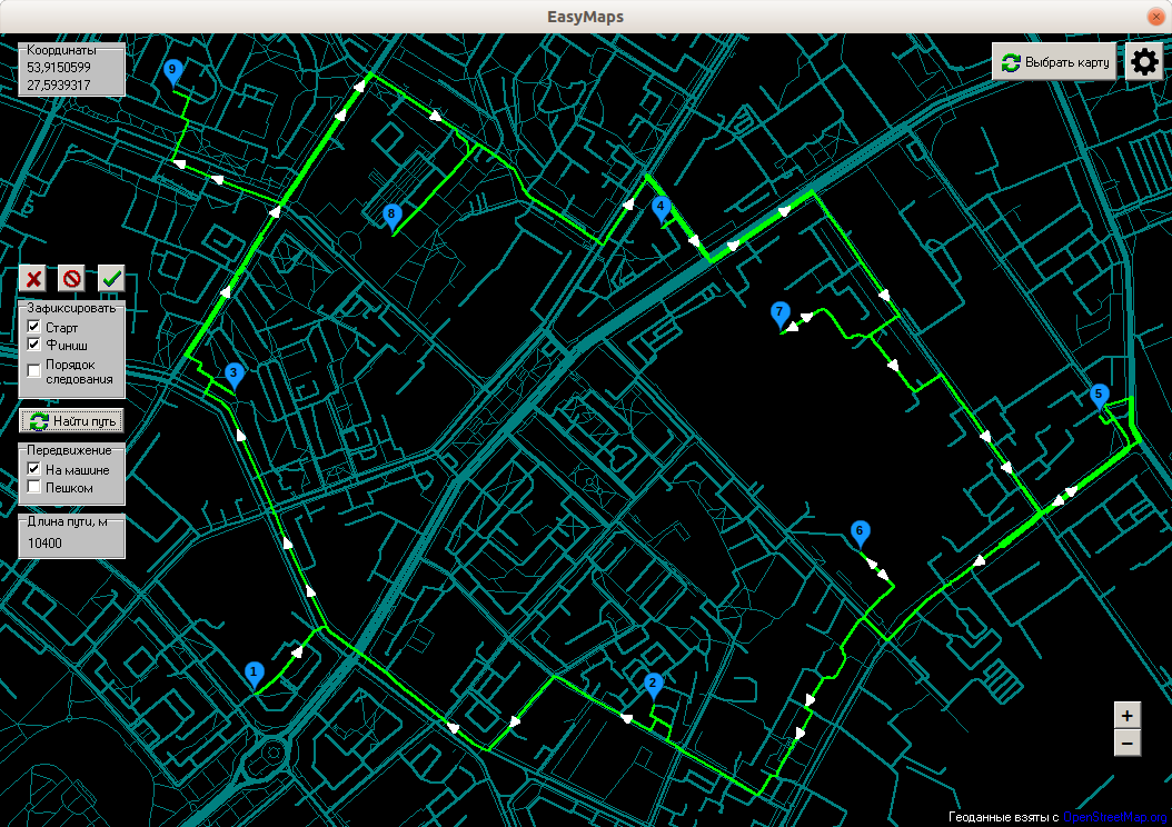
The same way with fully optimized order (it can change even the start and finish points)
Settings (user can choose between map quality and performance)
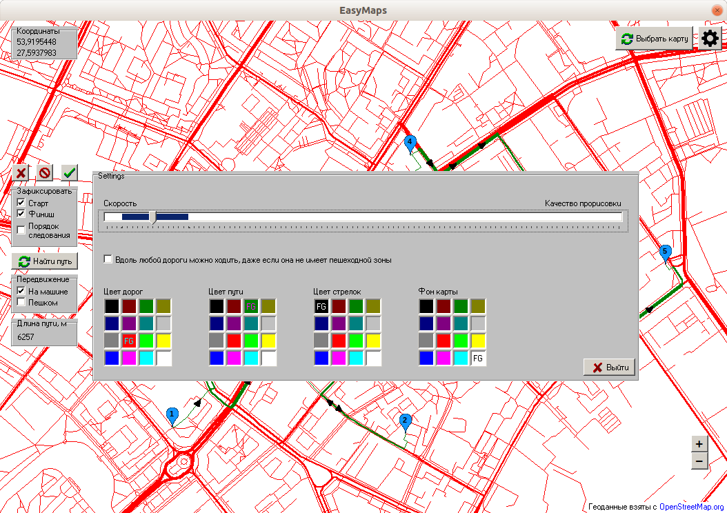
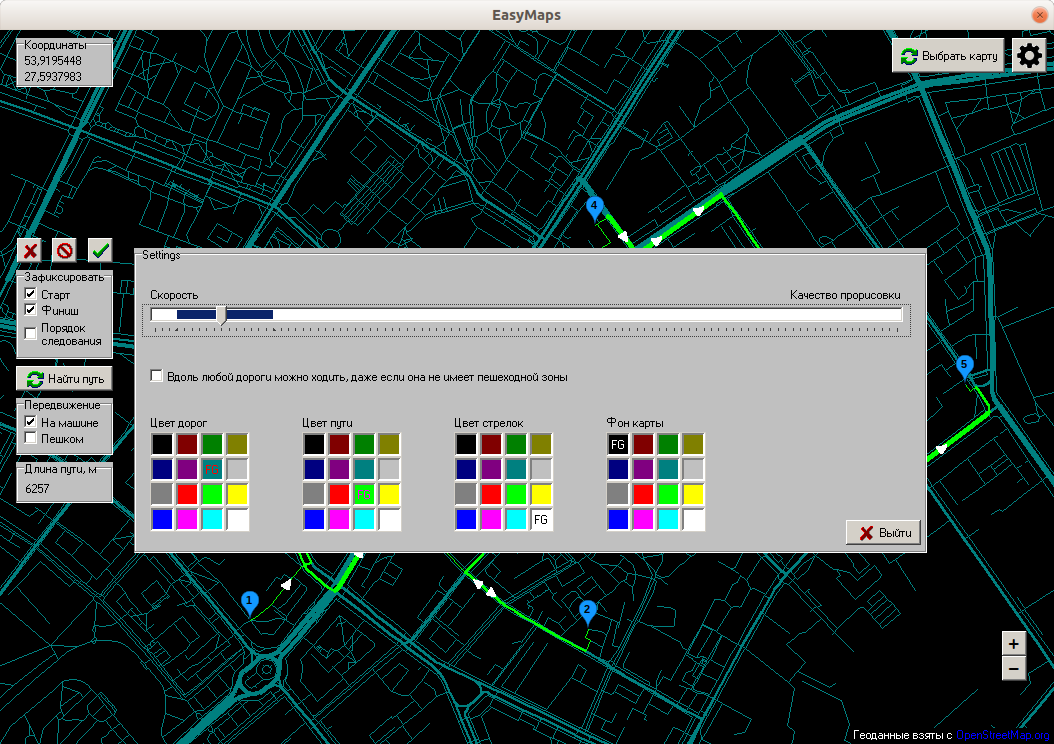
Way with defined fixed order of points
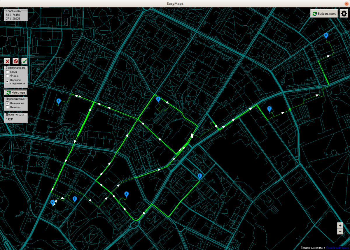
The same way with optimized order of points
Map format
Map with n nodes(vertices) and m roads(edges) format:
  vertices
  <vertex 1 id>
  <vertex 1 latitude>
  <vertex 1 longitude>
  <vertex 2 id>
  <vertex 2 latitude>
  <vertex 2 longitude>
  ...
  <vertex n id>
  <vertex n latitude>
  <vertex n longitude>

  edges
  <road 1 movement type>
  <road 1 width (lanes number)>
  <is road 1 two-way ('True' or 'False')>
  <vertex 1 id>
  <vertex 2 id>
  ...
  <vertex n1 id>

  <road 2 movement type>
  <road 2 width (lanes number)>
  <is road 2 two-way ('True' or 'False')>
  <vertex 1 id>
  <vertex 2 id>
  ...
  <vertex n2 id>

  ...
  <road m movement type>
  <road m width (lanes number)>
  <is road m two-way ('True' or 'False')>
  <vertex 1 id>
  <vertex 2 id>
  ...
  <vertex nm id>
Run
Just run EasyMaps.exe file.
Build
To build the application you need to install Delphi programming language compiler and build the project.