DIVA-GIS
DIVA-GIS is a geographical information system to analyze plant biodiversity data. It was developed at the International Potato Center (CIP) to help curate it's genebank data; additional support was subsequently obtained from IPGRI.
- Quiet · last change 9-9-2006
About this project, from SourceForge
DIVA-GIS is a geographical information system to analyze plant biodiversity data. It was developed at the International Potato Center (CIP) to help curate it's genebank data; additional support was subsequently obtained from IPGRI.
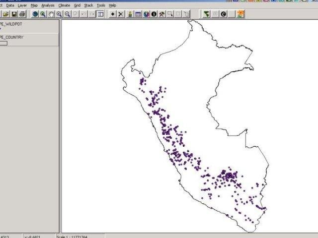
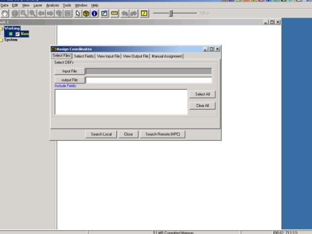
Screenshots