VR GIS
Vector Raster Geographic Information Synthesis. Incorporates Vector: Vector processing, Image processing, Digital Elevation Model DEM processing. These data can be combined to be viewed in 3D. Multitude of system organization aids.
- Quiet · last change 5-31-2011
About this project, from SourceForge
Vector Raster Geographic Information Synthesis. Incorporates Vector: Vector processing, Image processing, Digital Elevation Model DEM processing. These data can be combined to be viewed in 3D. Multitude of system organization aids.
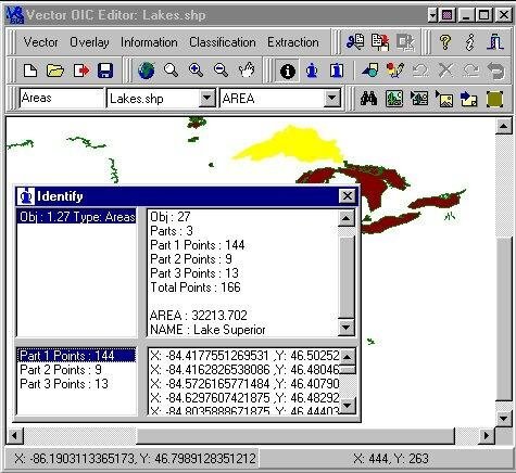
Screenshots