SurveyTools
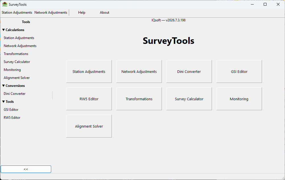
SurveyTools is a swish army knife for engineers. A free collection of desktop utilities for surveying engineers, covering the everyday computations that sit between raw field data and final coordinates. It runs natively on Windows and Linux (64-bit) and is built with Free Pascal / Lazarus. * Station Adjustment — preprocessing of total station observations for network adjustment. * Network Adjustment — geodetic network adjustment tools for 1D,2D,3D. * Alignment Solver— horizontal and vertical road/rail alignments 2d and 3d setout and measure tools, and batch processing. Imports and exports many formats. * Survey Calculator — Free Station resection, Precise Trigonometric Leveing, Resection etc * Monitoring — leveling adjustment and special monitoring adjustments for deformation surveys. * Coordinate Transformations — affine,Helmert etc transformations 2d,3d. * Editors for GSI,RW5 files. *DiNi to Excel — digital leveling file converter * Drone tools PPK solver for DJI Matric
- Active · last change 10-28-2026
About this project, from SourceForge
SurveyTools is a swish army knife for engineers. A free collection of desktop utilities for surveying engineers, covering the everyday computations that sit between raw field data and final coordinates. It runs natively on Windows and Linux (64-bit) and is built with Free Pascal / Lazarus.
- Station Adjustment — preprocessing of total station observations for network adjustment.
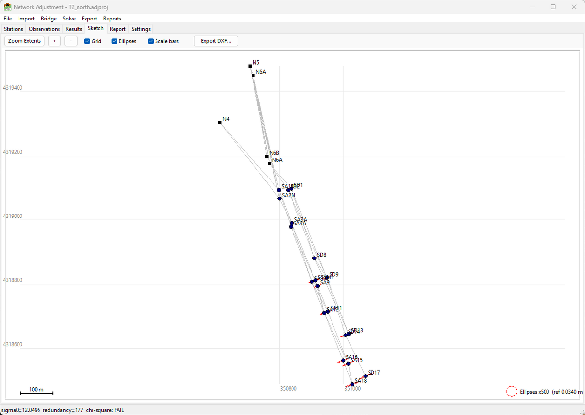
- Network Adjustment — geodetic network adjustment tools for 1D,2D,3D.
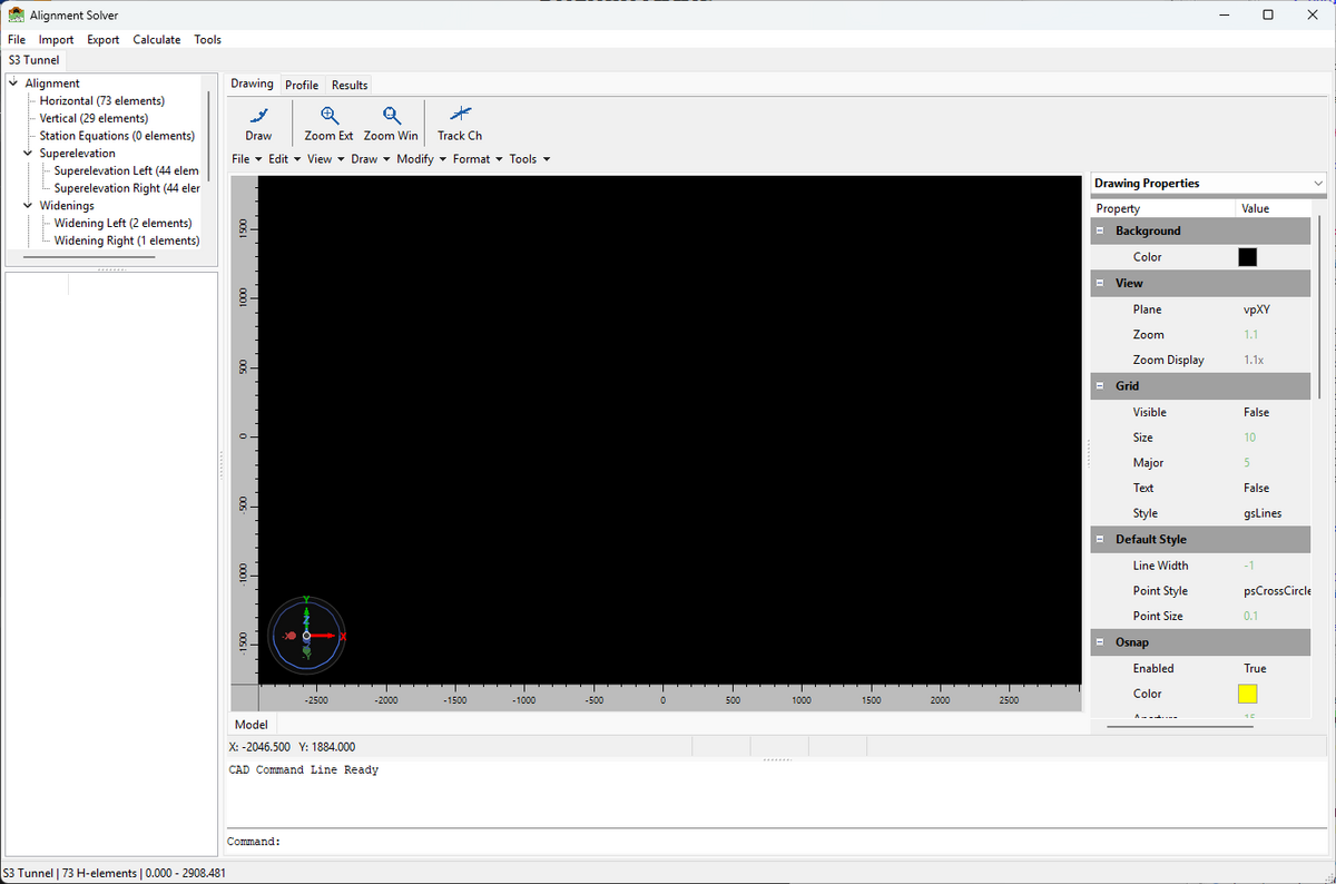
- Alignment Solver— horizontal and vertical road/rail alignments 2d and 3d setout and measure tools, and batch processing. Imports and exports many formats.
- Survey Calculator — Free Station resection, Precise Trigonometric Leveing, Resection etc
- Monitoring — leveling adjustment and special monitoring adjustments for deformation surveys.
- Coordinate Transformations — affine,Helmert etc transformations 2d,3d.
- Editors for GSI,RW5 files.
*DiNi to Excel — digital leveling file converter - Drone tools PPK solver for DJI Matric
Screenshots